| State Route 99 | ||||
|---|---|---|---|---|
| Route information | ||||
| Maintained by ADOT | ||||
| Length: | 44.31 mi[1] (71.31 km) | |||
| Existed: | 1970 – present | |||
| Major junctions | ||||
| South end: | Dead end South of Winslow | |||
| I-40 in Winslow | ||||
| North end: | BIA Route 15 near Leupp | |||
| Highway system | ||||
|
State routes in Arizona
|
||||
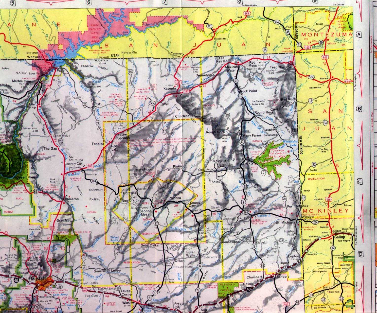
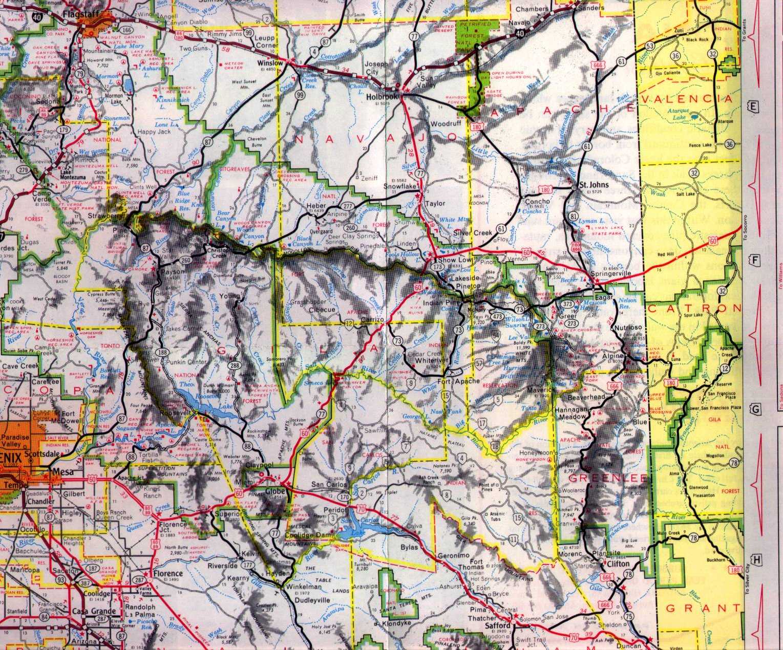
State Route 99 or SR 99 is a 44.31-mile (71.31 km) state highway in the U.S. state of Arizona.
Contents |
SR 99 starts in Leupp, Arizona in the Navajo Indian Reservation and heads south to Interstate 40 west of Winslow. Heading into Winslow, State Route 99 runs on a shared insight with I-40, then exiting I-40 in Winslow onto Business Loop 40 / Historic US 66 (this stretch is unsigned). In Winslow state route 99 heads south on State Route 87 beginning again south of Winslow where state route 99 separates and heads towards the edge of the Apache Forest where the state maintenance of the road ends.
The route was defined by the Arizona Department of Transportation in 1968 as State Route 99.[2][3] A designation of the nearby State Route 377 was deleted in 1983 and added to SR 99.[4] Since then, there have not been any major realignments of the route.
| County | Location | Mile | Destination | Notes |
|---|---|---|---|---|
| Navajo | 0.0000 | Dead end | ||
| 15.0084 | SR 87 | |||
| Winslow | 18.2531 | I-40 | Begin concurrency, interchange | |
| Coconino | 24.9350 | I-40 | End concurrency, interchange | |
| Leupp | 44.3093 | BIA Route 15 |